
Department of Surveying Engineering
 Department of Remote Sensing Engineering at Kerman Graduate University of Advanced Technology (GUAT) was established in 2008 aiming at presenting educational and research outstanding services. This Department is one of the first departments of Surveying Engineering which has initiated present education for Masters students in two majors of Remote Sensing Engineering and GIS. In addition to using proper educational space, students of the Department of Surveying Engineering can use advanced and modern lab equipment like photogrammetry and remote sensing drones, spectroradiometer with one Nano-meter reresolutionGPS station, and also unique computational servers to conduct their research. without broad academic and research cooperation of the faculty members and students of the Department of Surveying Engineering of the GUAT with local and foreign researchers and also different industrial sections, this Department has performed many research and industrial projects at local, national, and international scales so far.
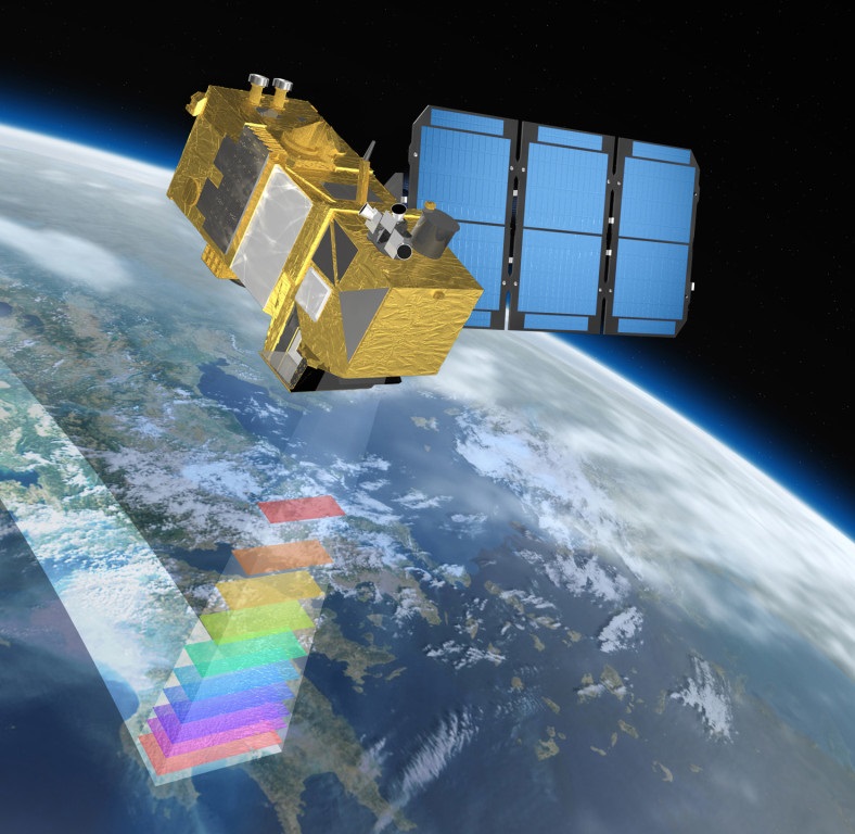
Introduction to the Fields: Major: Remote Sensing Engineering Remote Sensing Engineering is one of the main majors of Surveying Engineering. The purpose of Remote Sensing science is to extract information about objects and phenomena at the earths surface without physical contact. This science has diverse applications in the management and optimization of natural resources, precise agriculture, the study of natural disasters, monitoring the environment, mining explorations, etc. The students of this major during the course are being acquainted with the principles and concepts of remote sensing engineering, types of data, and different algorithms for processing them. GIS Engineering Major GIS Engineering is an information system for management, maintaining, and processing spatial data. This field of surveying engineering has a specific position due to the daily expansion of spatial data, because today, collecting, storing, managing, and processing spatial data is one of the basic and significant components for decision making at local and regional levels. During the GIS period, students become acquainted with the principles of modeling, management, and the process of spatial data for different applications.
|


Former-managers